Kalama Horse Camp
|
Location: Kalama Horse Camp, Cougar Wa, no address available
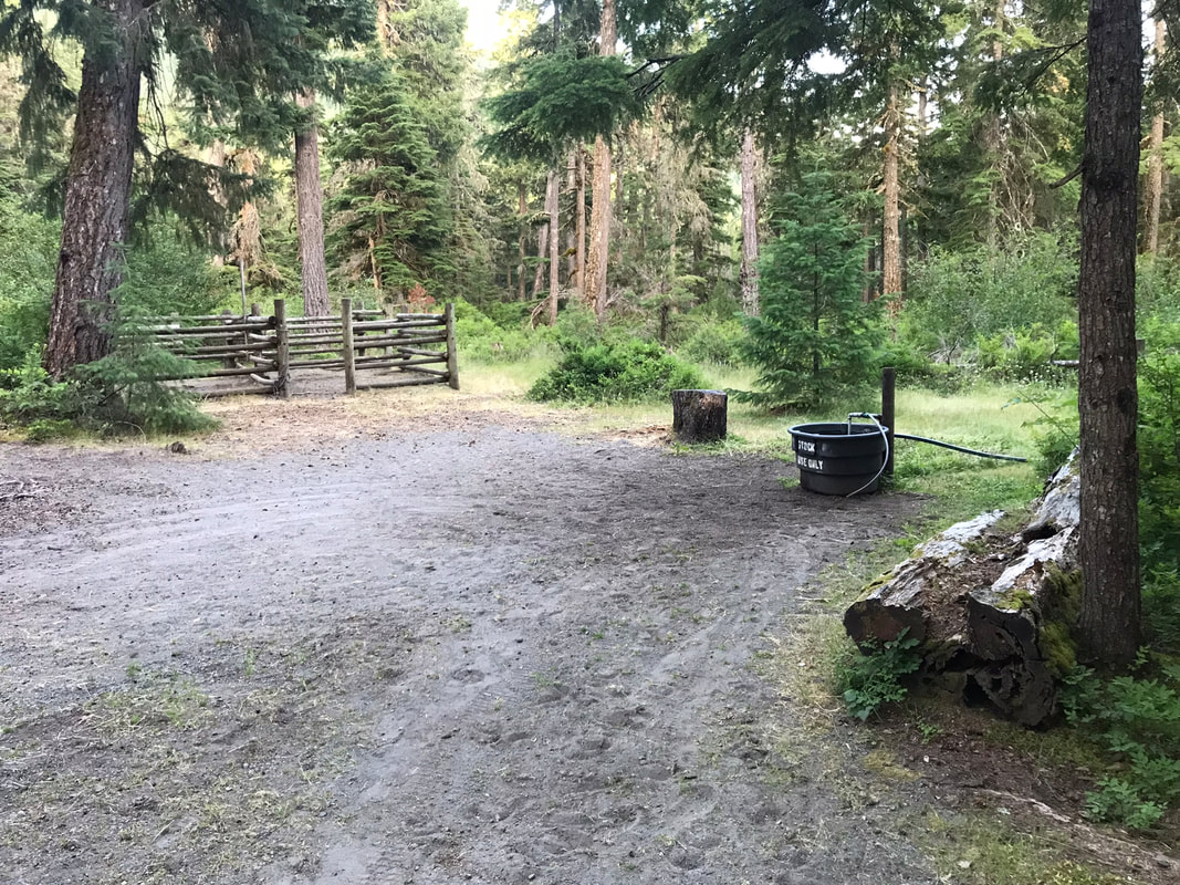
Facilities: Vault toilets, manure bins, fire pits and picnic tables at each site, indoor pavilion, stock water Camp Site Amenities: picnic table, fire pit, vault toilet, Site Type: Mostly pull-through sites Water: No human water, water troughs for horses 1 in each loop Footing: Rocky, hoof boots recommended Cell Signal: No cell signal Dogs: Dogs allowed Other: Weed-free hay required Manure Disposal: Manure bins and wheelbarrows provided Website: https://www.fs.usda.gov/recarea/giffordpinchot/recarea/?recid=70770 Reservations: https://www.recreation.gov/camping/campgrounds/10103161 |
|
Must Brings
1) Satellite Phone/Downloaded Maps - There is no phone reception here. I always bring my Garmin Satellite phone in areas with no reception. I want to at least have an SOS button for emergencies. When I rode the Cinnamon and Ski trail there were many unlabeled forks where I could have chosen the wrong way. I had downloaded Gaia maps and I could see where I was relative to the trail and correct my direction before I got lost.
2) Walkie-Talkies - If you ride and have another family member walk, it is great to have a way to communicate on the trail
3) Bucket/Portable Toilet - There are vault toilets here. However, at 2am they are a little too far to walk to depending on the location of your campsite.
4) Horse and Human water - There are water troughs but they have noisy pumps. It took Sam a few attempts before he was brave enough to drink out the the water trough. Drinking out of water troughs is also a great way to spread disease among horses and is not recommended.
5) Fly protection - The horse flies were bad in late July in the afternoon. We rode early from 7am-10am and did not have any problem. Back at camp Sam needed full body fly gear to be comfortable.
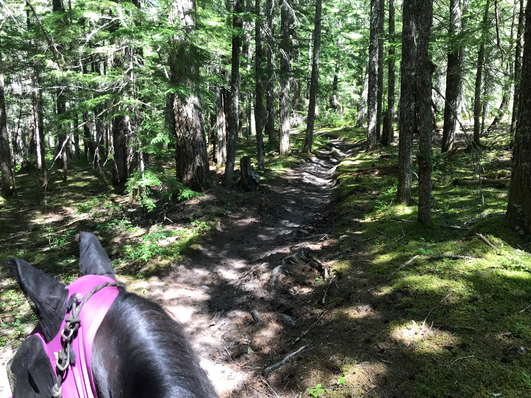
6) Hoof Boots - If your horse is barefoot, you will need boots. If your horse is shod I recommend pads. It is really rocky here! Some of these trails are just as rocky as the trails Sam and I rode in Colorado!
2) Walkie-Talkies - If you ride and have another family member walk, it is great to have a way to communicate on the trail
3) Bucket/Portable Toilet - There are vault toilets here. However, at 2am they are a little too far to walk to depending on the location of your campsite.
4) Horse and Human water - There are water troughs but they have noisy pumps. It took Sam a few attempts before he was brave enough to drink out the the water trough. Drinking out of water troughs is also a great way to spread disease among horses and is not recommended.
5) Fly protection - The horse flies were bad in late July in the afternoon. We rode early from 7am-10am and did not have any problem. Back at camp Sam needed full body fly gear to be comfortable.
6) Hoof Boots - If your horse is barefoot, you will need boots. If your horse is shod I recommend pads. It is really rocky here! Some of these trails are just as rocky as the trails Sam and I rode in Colorado!
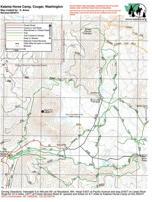
Getting There
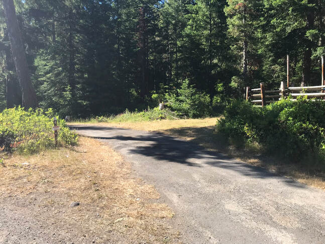
There is a 9 mile drive to camp from the main road. This forest road is bumpy and has dips and pot-holes. Some of the pot-holes are marked with bright pink or orange paint and some are not. After hitting the first dip I slowed down to a good 5-10 mph for the rest of the 9 mile drive. The cars behind me were not happy. There was lots of fast-driving traffic on this road and most of the campers did not have horses.
Horse Campsites
|
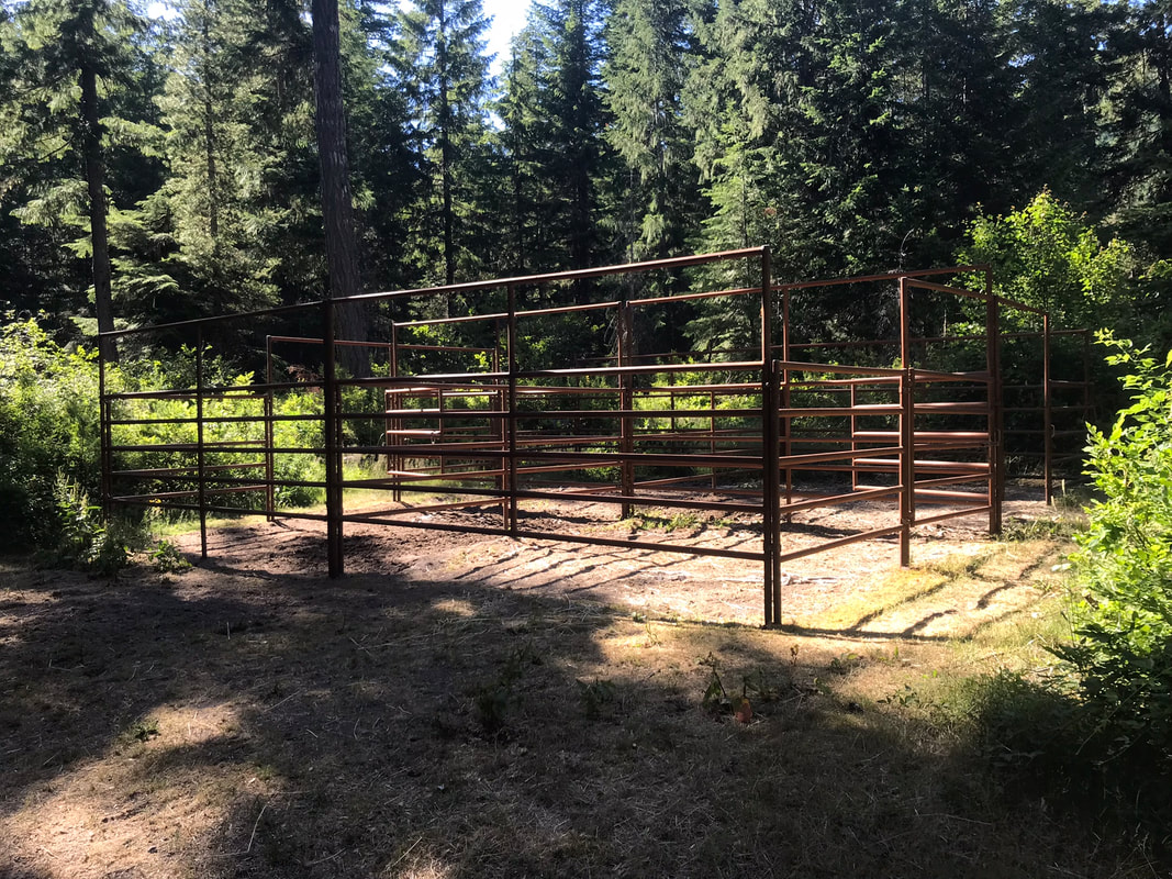
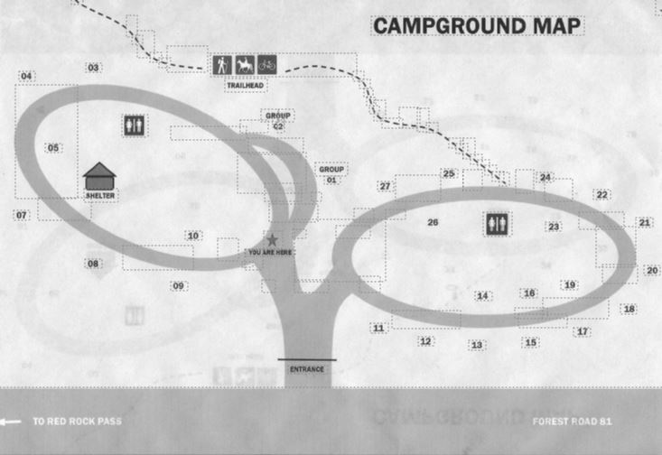
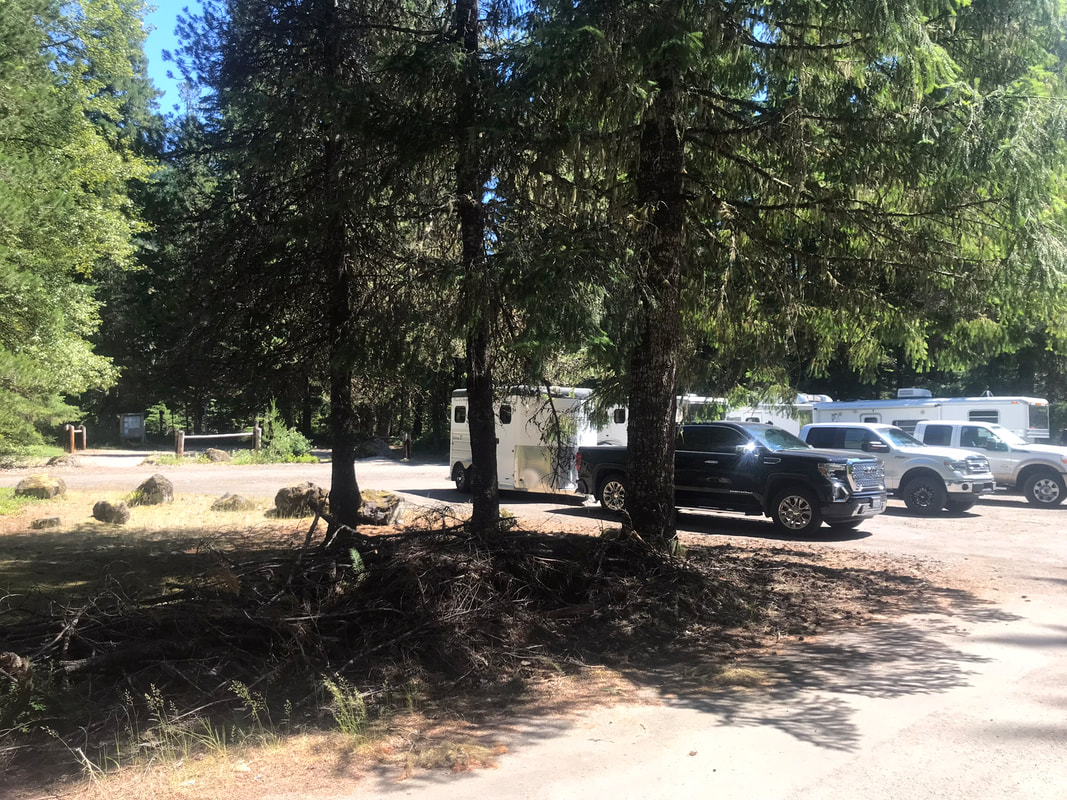
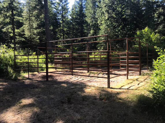
There are a few things I wish I had known before booking a campsite here. First, The lower part of the campground map is very close to road 81. This means that there were cars driving very fast past the camp-ground at all hours of the day/night. I was at site 9 and the traffic was disturbing at times. The best sites were the #s 21-27 as they were farther from the road. Second, the camp host was at site 10 and he liked to drive his wagon/golf-cart at 5:30am and drive around the camp-site. This was noisy and his golf-cart combined with the road traffic made a woodsy camping experience feel noisy and close to motorized traffic. The other challenge is camping with friends in different loops. It is a pretty good walk to get from site 8 or 9 to site 22. If you have a friend in 22, they have to be a very good friend to come visit with you in site 9. Again, my choice would be the second loop sites 21-27. The majority of the corrals were wood and old and run-down with chain gates.
You can reserve a site if you have horses. If you don't have horses there are a lot of first come first serve campsites. During our stay there were very few horses and most of the campsites were taken by non-horse campers with kayaks, ATVs and bikes. |
Manure bins with provided wheelbarrows!!
Stock water tank with attached hose, 1 available per loop
Day use parking
|
Campsite Pictures
I did not take pictures of all the campsites, but I always need a reason to go back. If you have a picture of a camp-site that is not pictured I would love to add it.
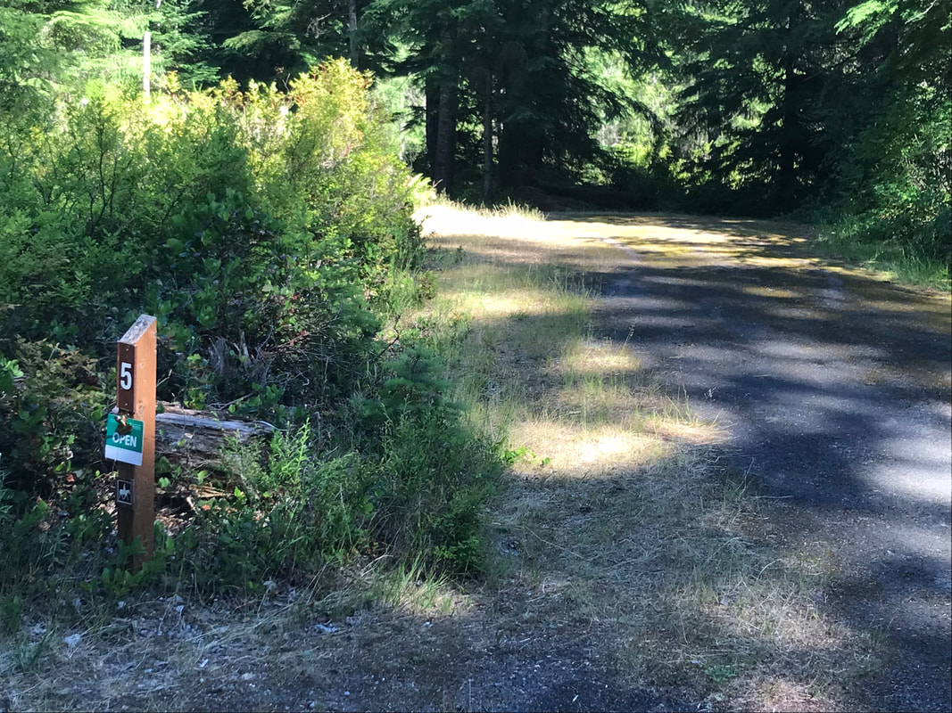
Site 4
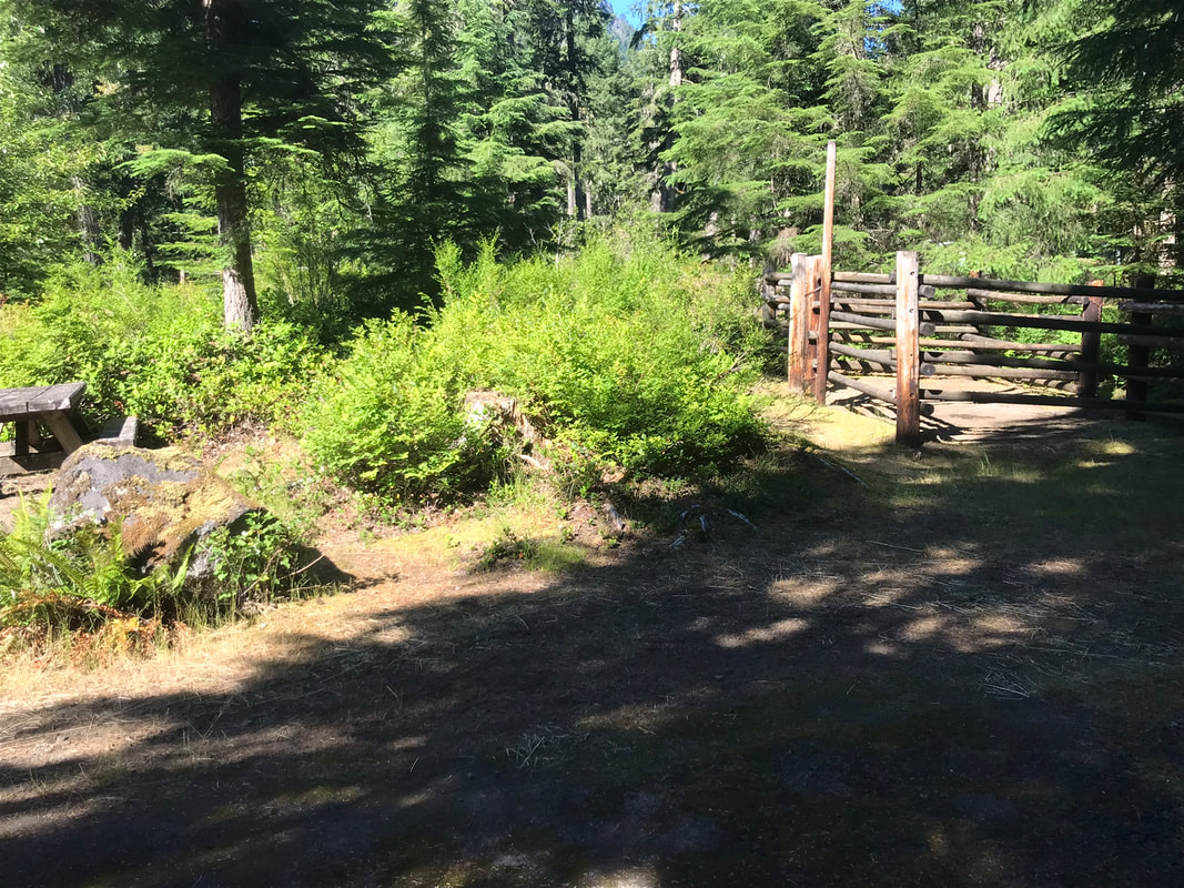
Site 5, Back-in site but very long, wooden corrals not visible from road but close to picnic table
|
|
Site 6 - wooden corrals, corrals up a little hill from the picnic table, slightly awkward to get to
|

|
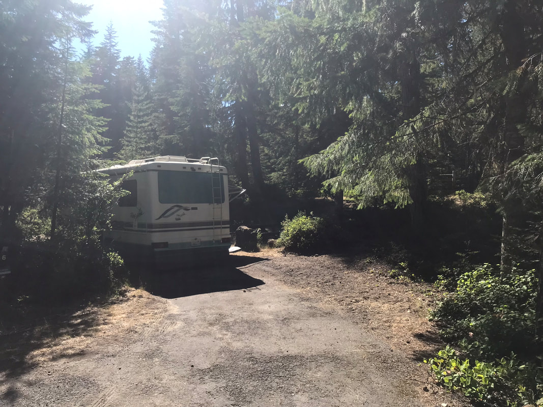
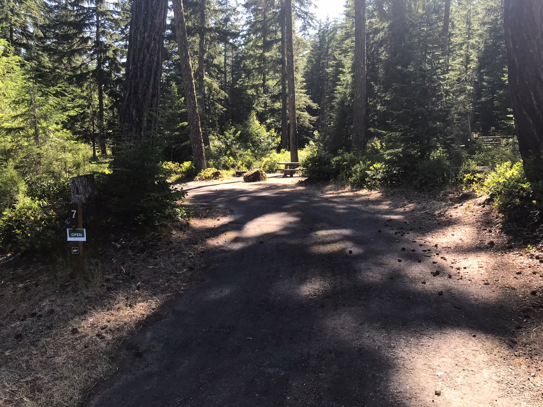
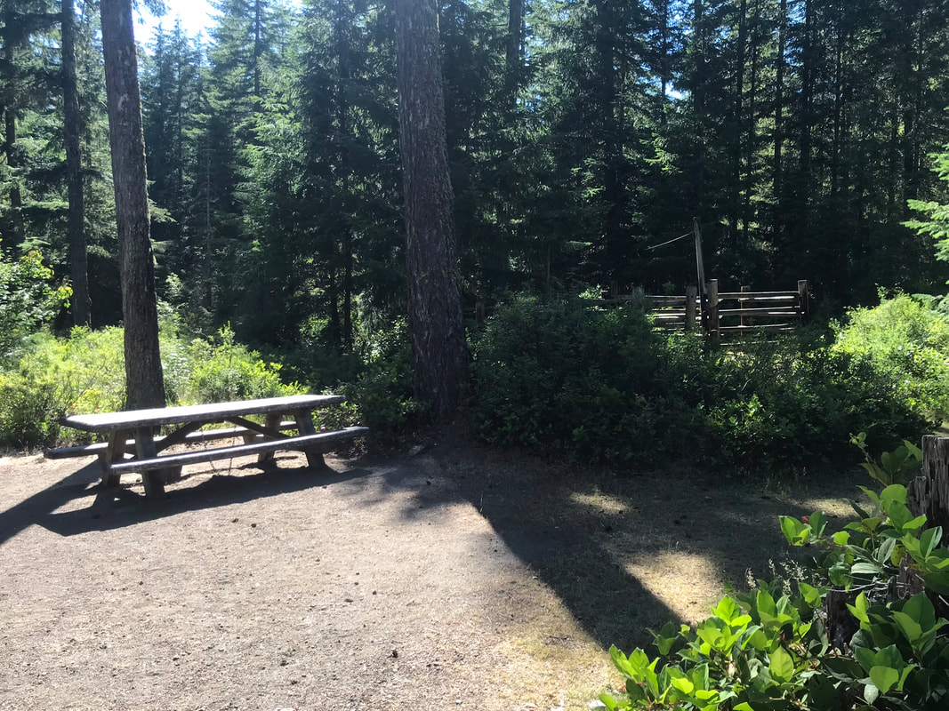
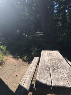
Site 7, pull-through, wooden corral, narrow trail to corral from picnic table
|
|
|
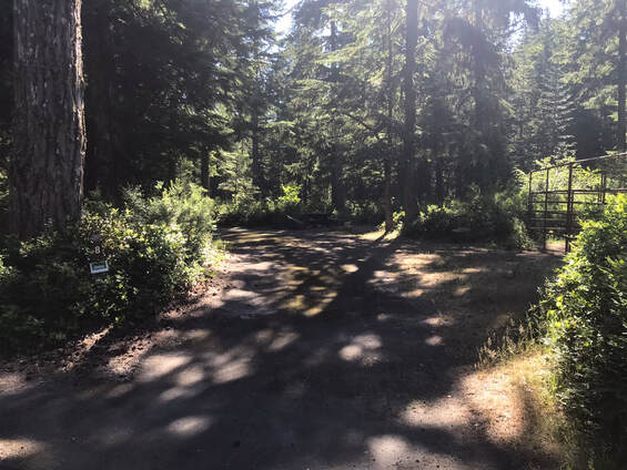
Site 8, metal corral, pull-through, picnic table a ways away from corral, pretty long pull-through
|
|
|
|
|
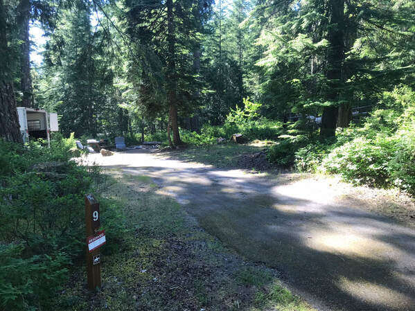
Site 9, wooden 4 horse corral, 1 log is broken, close to road, would not choose this site again.
|
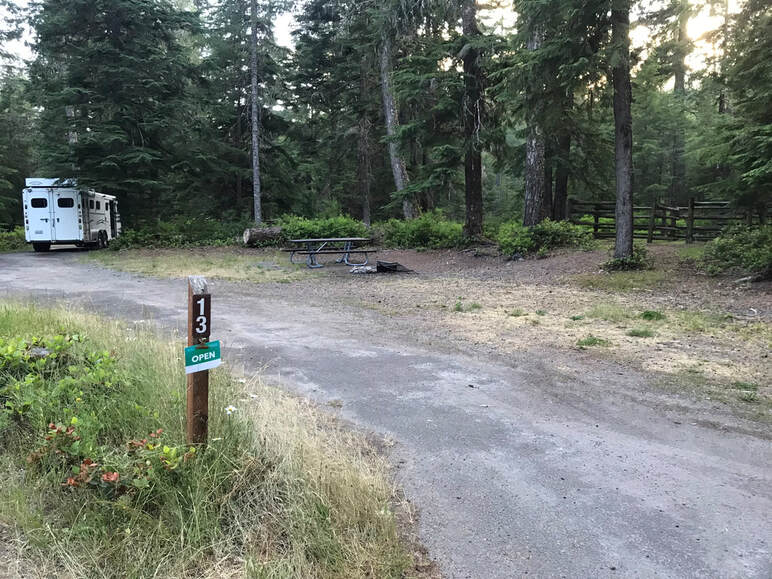
Site 13 - Pull through long site with 2 horse wooden corral
|
|
|
|
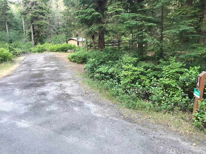
Site 14 - long back-in site with 2 horse wooden corral
|
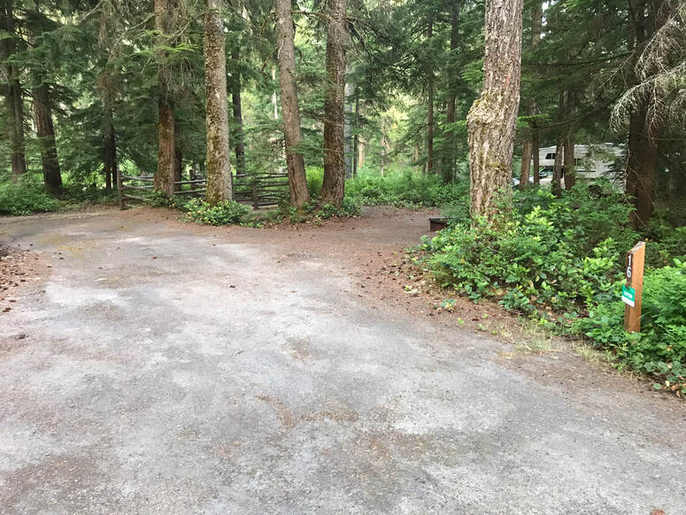
Site 16 - wooden corrals, back in, 2 horse corral, long parking area
|
|
|
|
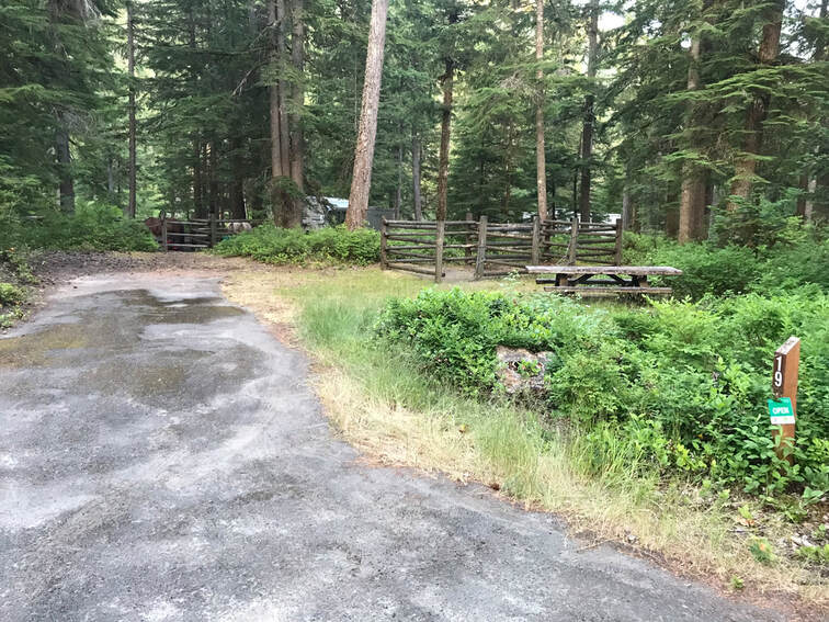
Site 19 - back in site but long, 2 horse wooden corrals
|
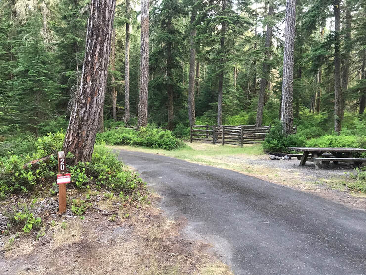
Site 20, wooden 4 horse corrals, nice long pull-through, a good location away from the road, nice picnic table location relative to corral
|
|
|
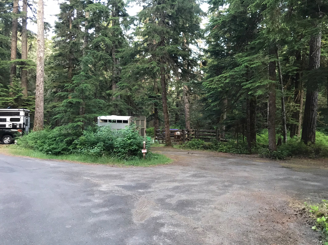
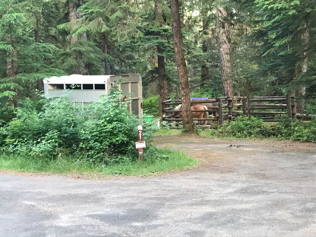
Site 21 - Jen's Scottie in wood 4 horse corral, pull-through
|
|
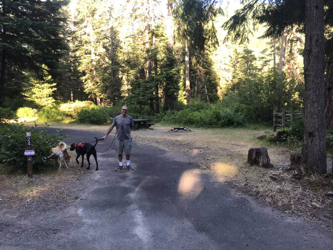
Site 24, wooden corral, pull-through
Riding
|
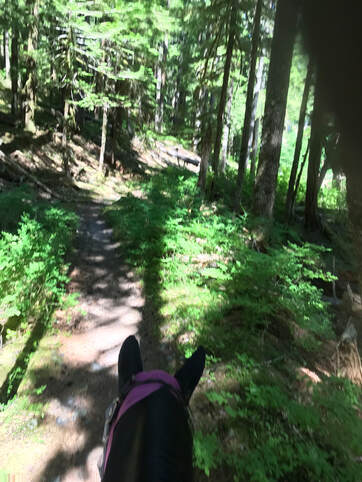
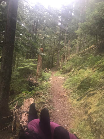
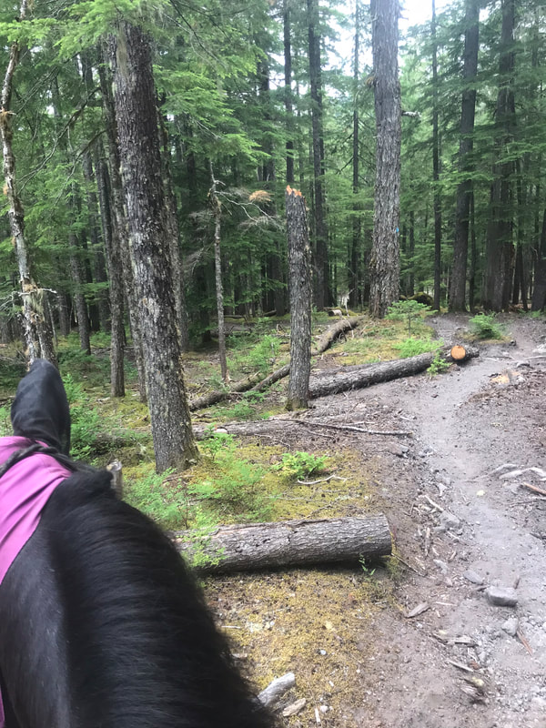
The riding here is difficult. The trails are labeled as "easier" and more challenging. Easier is the key, and it is relative to some pretty challenging trails. In general, the trails are not easy. I loved riding here and Sam was awesome, but this is not the place for low-key fun beginner rides. If you have a horse you trust that is unflappable, you will be fine.
Many times Sam was on a sandy/rocky single-track with a large drop off on one side. I was never worried. Sam is a mountain-goat! I just drop my reins and let him go. However, if you are worried your horse will spook or turn, do not ride here. I would go somewhere like Stub Stewart or Nehalem. Even on the easier Kalama Falls trail there were lots of loose rock, deep sand and steep and rocky inclines. If you can drop your reins and let your horse make good decisions, it is fine. If you need to stress and micro-manage them, then the riding becomes stressful and not enjoyable. I highly recommend having Gaia or a similar GPS program. Always bring a spare phone battery too! Many times the trail forks were not on the map and I had to ride a little to see if my GPS had me going the right direction. The official trail map does not have mileage! It is so important to know how long you have to ride. Do not overdo it. Never have an exhausted horse, turn around before you are overly tired! |
|
Kalama Falls Trail
|
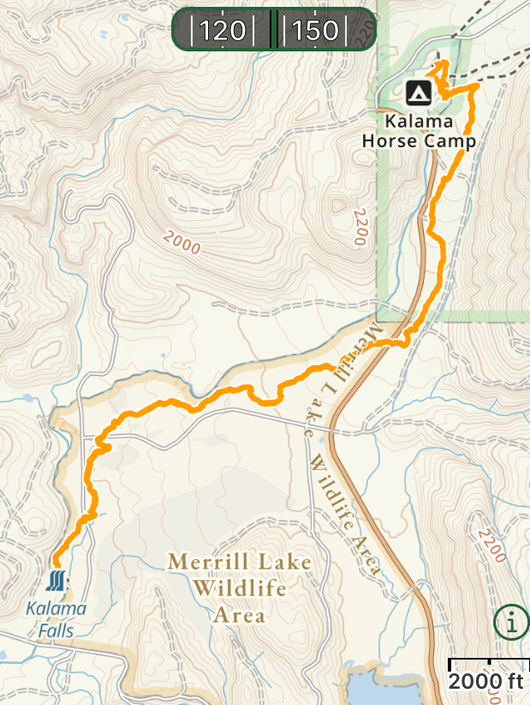
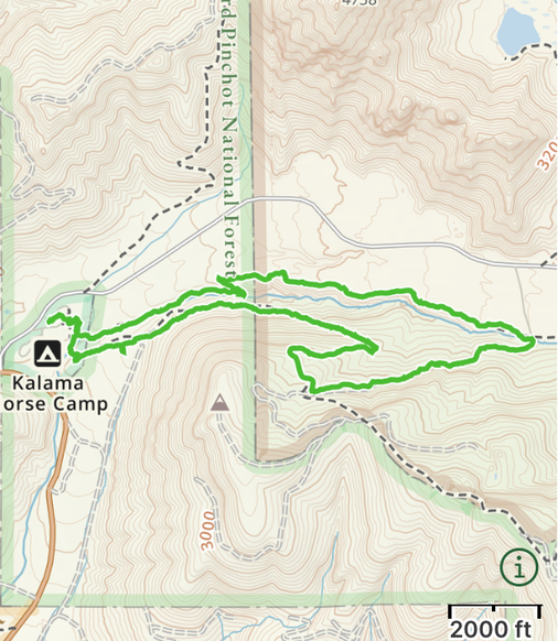
GPS Track
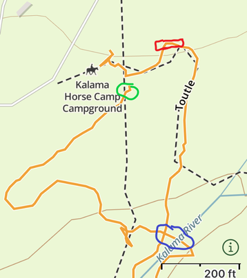
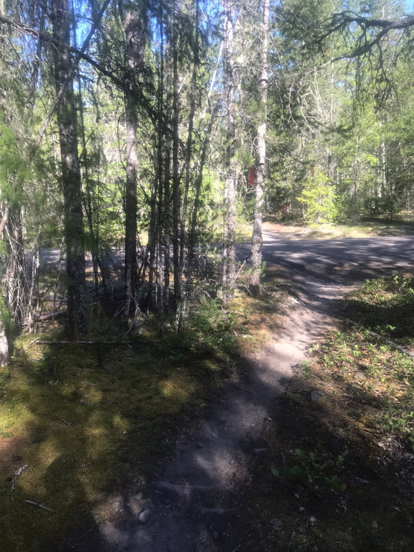
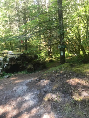
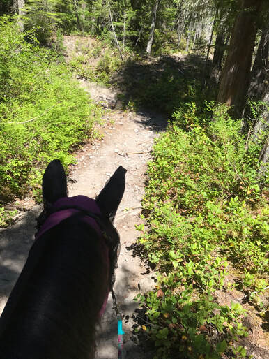
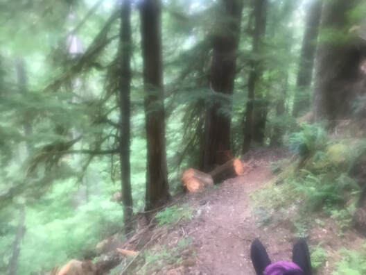
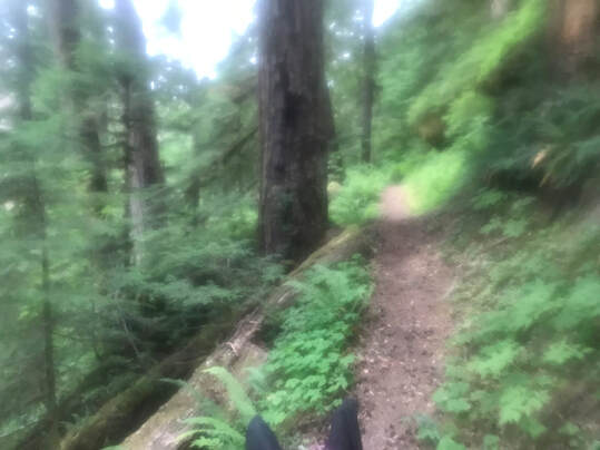
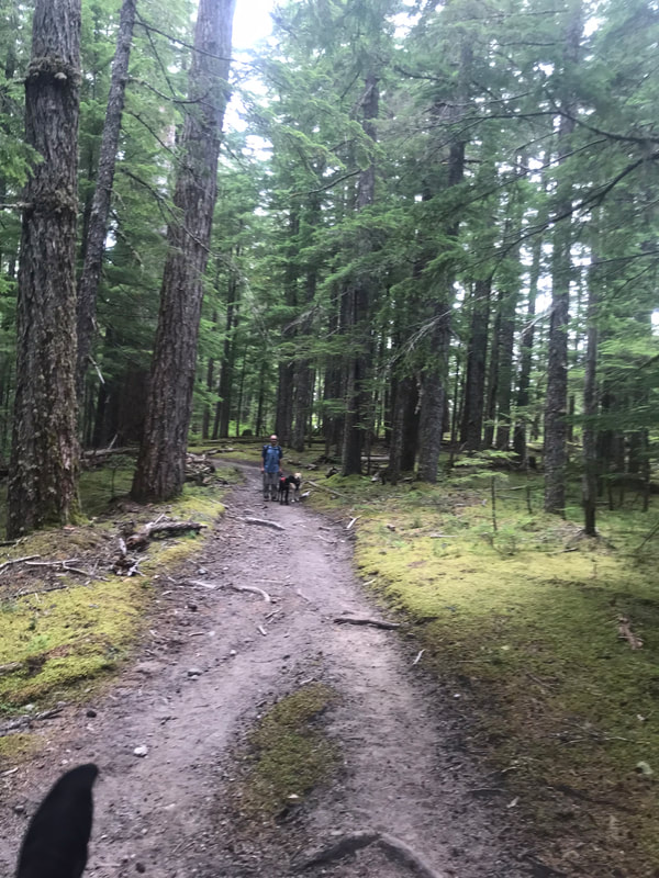
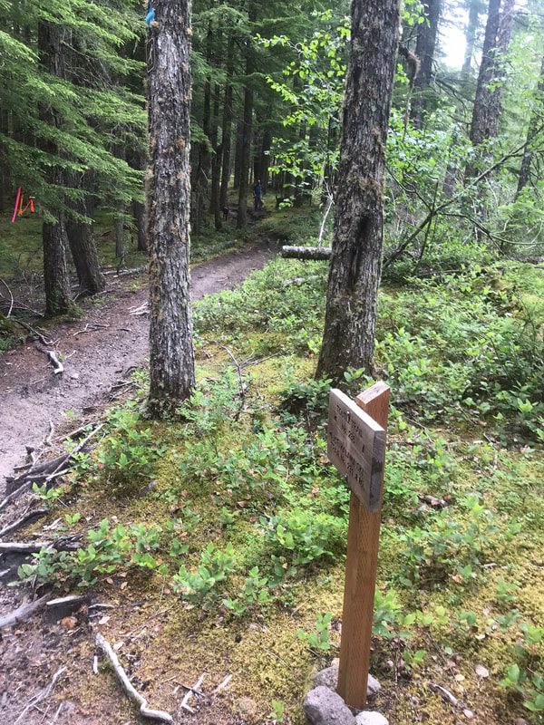
Mileage: 8.59 miles Time Taken: 3.5 hours Ascent: 749 feet This is the "easiest" of the possible trails to ride. It was still rocky and was downhill going away from camp and uphill going back to camp. We did this the last day as I try to do a short and easy ride before going home. This was not short or easy! We could have turned around at any point but wanted to see Kalama Falls. I recommend getting up early to ride this trail. We rode late July after a rainy year and the horse-flies started getting unbearable as the day warmed up. We started riding at 7am and by 10am it was too hot and I was eager to get back to camp. We had a slower pace on all the trails this trip because we stopped to wait for my amazing husband who was walking on foot! I highly recommend downloading my GPS track. The first part of this trail is not on Gaia. Most of the trail is marked with red plastic flags hanging from the trees or a paper sign in a sheet protector attached to trees. The trail challenges include steep inclines, rocky trails, many, and many tree roots to avoid. We also walked through a campground with scary tents and people gathering. We crossed a forest road and 2 other more atv-ish looking forest roads. As you leave camp at the trail-head you start on the Cinnamon trail. Leaving the trailhead/day use area there is a bridge you must cross with no side-rails. Sam thought this was not a good idea and I dismounted to help him cross. To avoid this bridge from the trailhead take the Camp Loop Trail on the right, then take the first left. This takes you to an easier creek crossing and avoids the scary no-rail bridge. There will be a second bridge to cross as you start on the Cinnamon trail. This bridge is larger and has side-rails and is less scary. When in doubt, dismount. That is always a good motto to stay safe. There were so many rocks and logs it was easy to find a good place to get back on. Below: Scary bridge in Red. Green circle is beginning of Camp Loop Trail from Day Use Area. Circled in Blue is easy creek crossing.
|
|
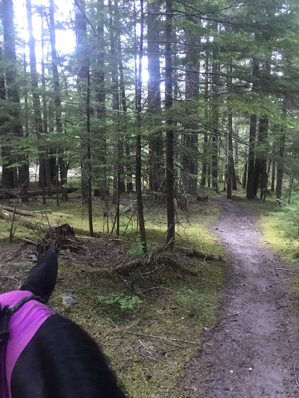
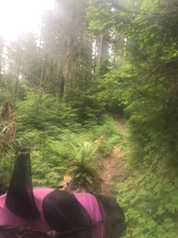
The trail started off branching off from the Cinnamon trail and going downhill. We crossed 3 roads and rode through a lovely forest. The trail was very rocky at times. It would a stressful ride for a green horse or rider that is micro-managing their horse's steps. Sam just cruises through the rocks and I let him pick his path.
|
|
|
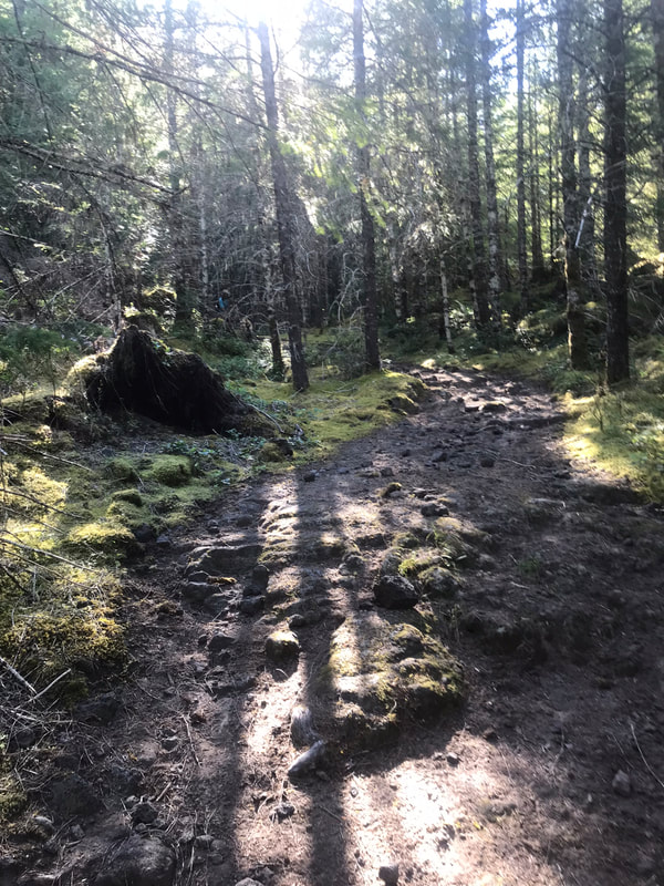
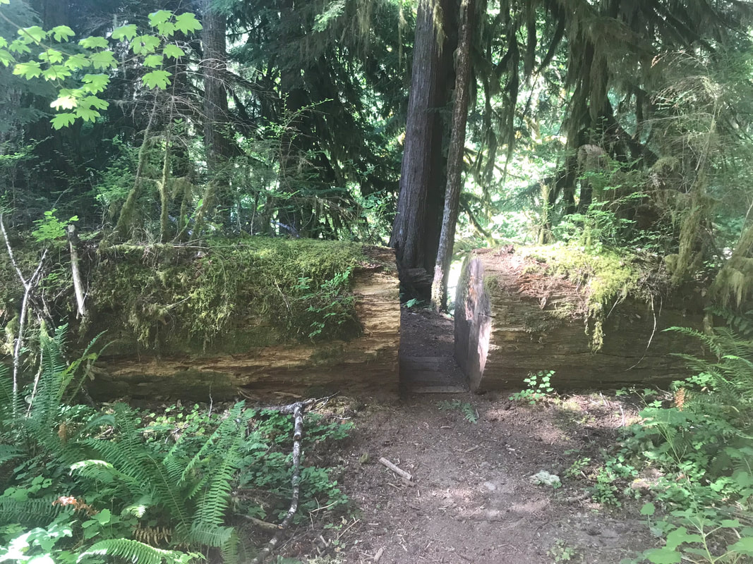
We followed the trail past a forest road and this stack of logs. This could be a scary obstacle for some, but Sam walked by without a problem. Our trail ended when we came to this log. You can walk your horse through the log and continue on but I decided to dismount and look at the falls on foot while Jon fed Sam granola bars. It was lovely! You should ride the trail and enjoy the falls! The last 50 feet before the large log were absolutely magical. I felt like I was a princess out of a storybook riding my fearless Sam through a magical forest.
|
|
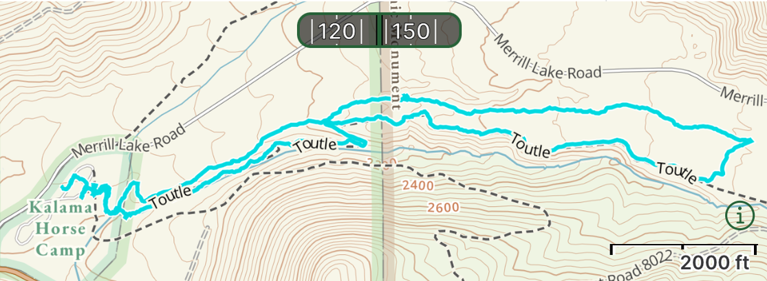
Toutle Trail to Ski Trail - Shorter Loop
|
GPS Track
Mileage: 4.6 miles Time Taken: 1.5 hrs Ascent: 497 feet When I first arrived to camp I wanted to do a short loop to get to know the trails. There is a long Toutle Trail to Kalama Ski Trail loop that I wanted to cut at least in half. We started out on the Toutle trail then headed back on the Ski Trail. The fork between the Toutle and the Ski Trail was not signed and I just had to hope I was going the right direction back to camp. I would not call this an easy trail. The first switch-back from the Toutle going up from the river is steep, sandy, and slippery. The route higher on the bank of the river is rocky with lots of tree roots. Going back to camp on the Kalama Ski Trail the trail had lots of loose rock or deep sand. Sam is usually sure-footed and he did a lot of slipping and sliding. |
|
|
|
|
|
Cinnamon Trail to Toutle Trail - Shorter Loop
|
GPS Track
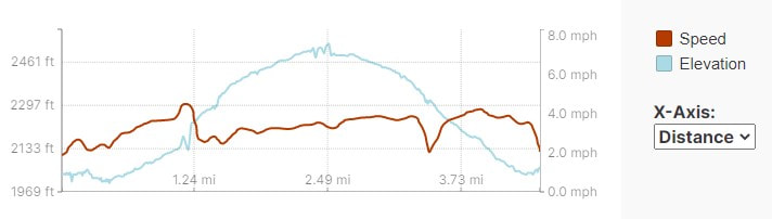
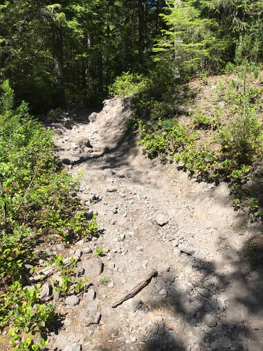
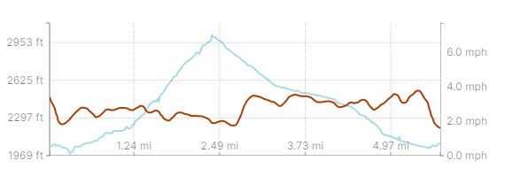
Click on the GPS Track link to get a webpage with the Gaia track you can download and check out the elevation profile. Mileage: 5.6 miles Time Taken: 3 hours Ascent: 980 feet I was pretty intimidated to start out on the Cinnamon trail. Kim's guidebook labeled this trail as difficult and campers had said it was a tough trail. It was a lot of hard climbing, even for Sam. We rode the gps track counter-clockwise.
It was absolutely stunning and I loved the large drop-offs to our left as we climbed. Sam and I rode a lot in Colorado so the drop-offs are part of our normal mountain trail. Sam is a rock-star, I point him up the trail and he climbs very steadily and I never worry about him getting too close to the edge of the trail. We went early in the morning on a cooler morning. We did not have horse-flies or bugs until the afternoon. The trail was pretty overgrown and my helmet and long-sleeved shirt was very protective against branches and brush. As you climb the first switch-back there is a clearing and the trail is not obviously marked. There is an atv/forest road that goes south toward Kalama Falls and we almost went the wrong direction. You need to keep going parallel to the river. Bring your GPS/Gaia app and use it to stay on the right trail. |
|
Below are some examples of the steep drop-offs to the left of the trail. These pictures do not even begin to capture the steepness of the trail. There was a long stretch of trail where I had to put my phone away and lean forward and just hold on and focus on Sam.
|
|
We climbed pretty steeply for about 1.5 miles. I wanted to turn left at the junction of Cinnamon with Forest Road 8022 to join back up with the Toutle trail.
|
|
|
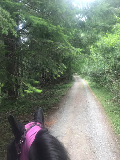
We turned left on Forest Road 8022 and had a very short walk down this gravel road to hit Toutle.
Back on Toutle trail we had a relatively flat walk back to camp. There was one very slippery sandy switchback from the upper banks of the river to the river-side. Sam slid a little going down the steep hill.
|
|
|
Rating
I had a great time. Would I go back...probably not. The trails were difficult and I rode on foggy days and could not see the mountains. I would want to be farther away from the road and the camp host. It was a lot of effort to drive the bumpy 9 miles into camp and a windy road trailer ride for Sam. If I was a hard-core endurance rider I might like riding the longer loops but Sam and I are just not that ambitious.
